“The station masters and other agents on the road, as a rule, do their very utmost; they have been well selected, and are spirited and intelligent men; but the task given them to do is greater than the means given will permit. The road is composed of fifteen or twenty independent pieces; is it any wonder if these often do not fit, especially as there cannot be unity of understanding and of plans, for there is no telegraph, along the route and it would be extremely difficult to construct one.”
Sir Sanford Fleming, civil engineer and scientist who was the
foremost railway engineer of Canada in the 19th century
Source: Grant, G. M., 1835-1902. (1873). Ocean to ocean: Sandford Fleming’s expedition through Canada in 1872 (P.65). Being a diary kept during a journey from the Atlantic to the Pacific with the expedition of the engineer-in-chief of the Canadian Pacific and Intercolonial railways. BC Historical Books. Diaries. Retrieved June 3, 2020, from https://open.library.ubc.ca/collections/bcbooks/items/1.0221770
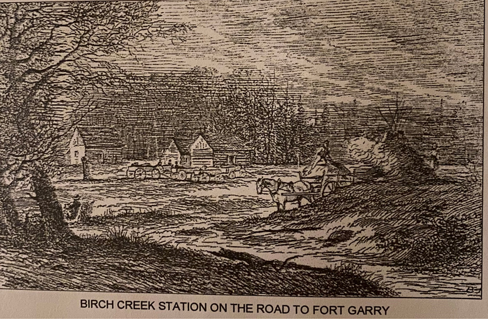
An artist’s rendition of the station at Birch River at the first river crossing of three river crossings along Dawson Road (at Birch River, Whitemouth River and Brokenhead River. Some provisions were made available for the travelers by a supplier under contract by the Canadian government known as Carpenter & Co, however many travellers complained about the service. Source: Grant, George Monro, 1835-1902. (1873). Ocean to ocean: Sandford Fleming’s expedition through Canada in 1872 (P.60). Being a diary kept during a journey from the Atlantic to the Pacific with the expedition of the engineer-in-chief of the Canadian Pacific and Intercolonial railways. With sixty illustrations. BC Historical Books. Diaries. Retrieved June 3, 2020, from https://open.library.ubc.ca/collections/bcbooks/items/1.0221770
“At Birch River stood a building for travellers and a stable where horses were changed. Beaches of Glacial Lake Agassiz made a good roadbed westward... Birch River /Rivière aux Bouleaux: This river was named after the birch trees that lined its banks. Two miles south of the Dawson Road crossing was Birch Lake which we could not see from the road. Not far from the place where the Dawson Road crossed Birch river there was a flat rock. That landmark was called “Petit Rocher” (little rock).”
Harvey Goldberg and C.B. Gill, Historic Resources Branch Consultants, Manitoba
Source: Goldberg, H. (& Gill, C.B. Field Notes) (1972). The Dawson Road. Historic Resources Branch, Manitoba. Received as a PDF from the Province of Manitoba as D:\Chchis\Historic Resources\Documents\REGISTRY\GENERAL\REPORTS\The Dawson Road.doc
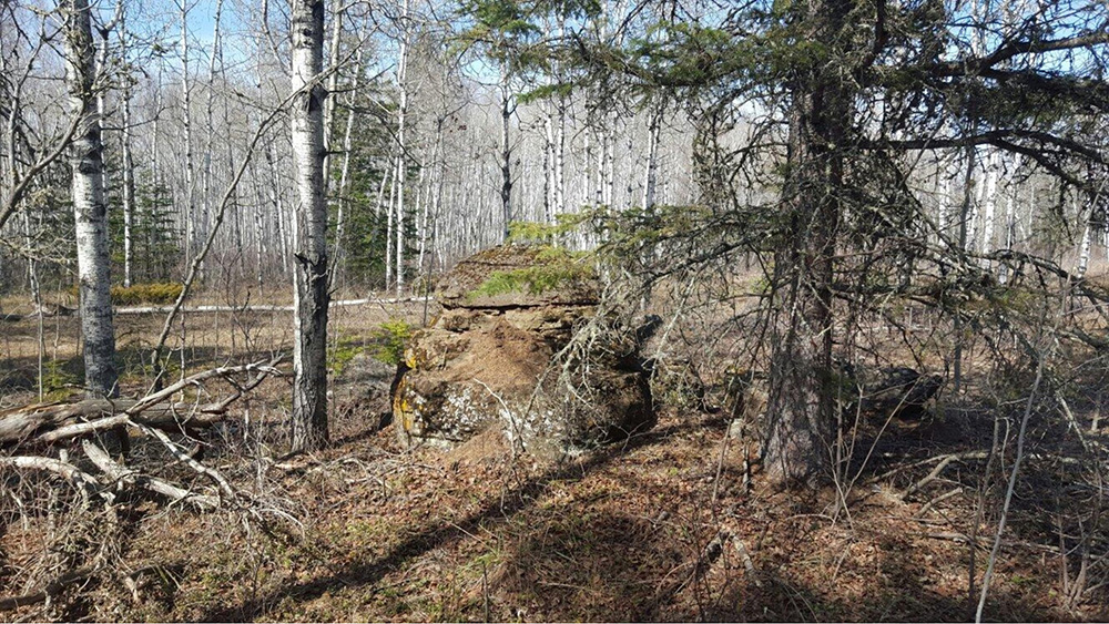
Tripadvisor - Explore: Birch River (Manitoba). Taken April 16, 2016 by Andy showing the trails and road very overgrown. Retrieved June 20, 2020 from https://www.tripadvisor.ca/Tourism-g4922889-Birch_River_Manitoba-Vacations.html
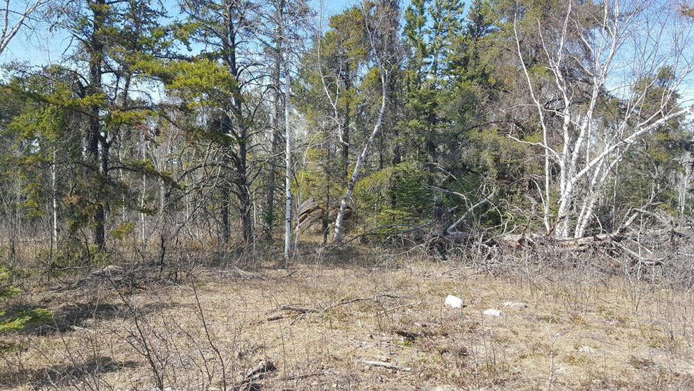
Tripadvisor - Explore: Birch River (Manitoba). Taken April 16, 2016 by Andy showing the trails and road very overgrown.Retrieved June 20, 2020 from https://www.tripadvisor.ca/Tourism-g4922889-Birch_River_Manitoba-Vacations.html
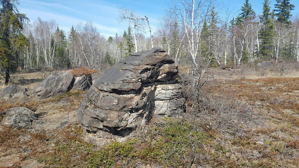
Tripadvisor - Explore: Birch River (Manitoba). Taken April 16, 2016 by Andy showing the trails and road very overgrown. Retrieved June 20, 2020 from https://www.tripadvisor.ca/Tourism-g4922889-Birch_River_Manitoba-Vacations.html
Back to NorthWest Angle - Lake of the Woods Heritage Tour Page | Top
Previous page: Harrison Creek: Gateway to Manitoba
Next page: Manitoba Industrial Prison Farm