SEE GOOGLE MAP LOCATION 
POINT OF INTEREST: Brokenhead River Crossing
HISTORICAL NUGGETS: Stagecoach Service on Dawson Road
Plight of a Luckless Traveler (1874)
Brokenhead River Crossing
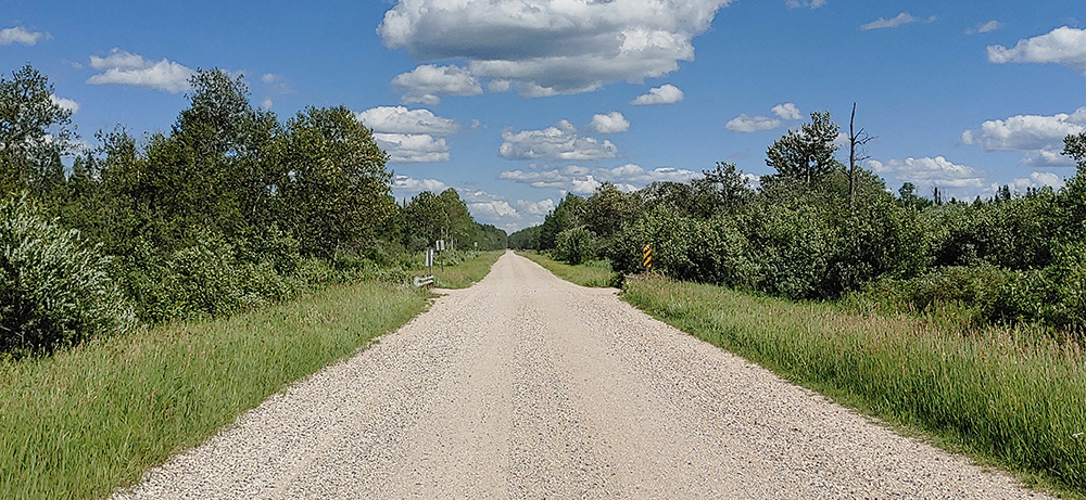
Current view of Brokenhead River crossing the Dawson Trail. Photo by Myriam Dyck
|
The Brokenhead River crosses the Dawson Trail 3.75 kilometres east of Coulée St-Onge, near the "end of the line" of today's gravel Dawson Road.Here on the Dawson Trail you will see a bridge and a fairly narrow river. There is a shallow gravel ford to the south in the Eastman ATV Trail system that allows wagons and vehicles to cross easily in about 2 feet of water. This may have been where wagons normally crossed the river historically.
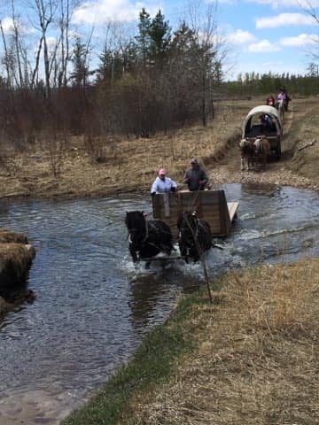
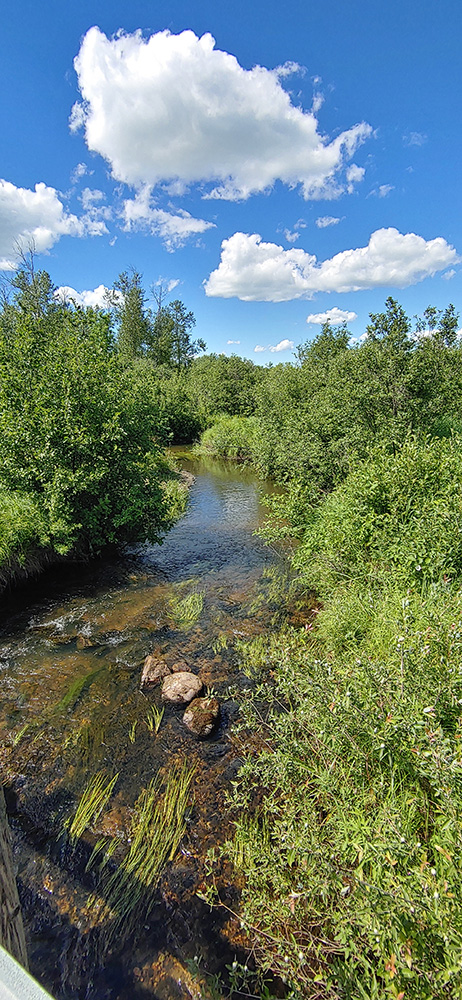
Left: Modern-day horses and wagons crossing the Brokenhead River Ford in the Eastman ATV Trails 2018. Photo by Mark Lanouette Jr.Right: View of Brokenhead River from Dawon Trail Bridge. Photo by Myriam Dyck |
|
Stagecoach Service on Dawson Road
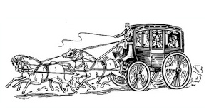
Illustration of a typical stagecoach on the frontier. Retrieved from https://www.mtha.ca/intercity-coach-history.html
The Dawson Route was a land-and-water-route from Fort William to Winnipeg, established in 1868 by the federal government for the convenience of travellers to and from the West via the Great Lakes. However, the inconveniences of the route far out-numbered the conveniences, according to the passengers who made the trip.
Passengers could travel via the Great Lakes to Fort William, then over the Dawson Route the rest of the way. In 1874 the route was swamped with hundreds of passengers, mostly settlers from eastern Canada, who encountered almost unbelievable conditions as they made their way over the lakes and portages to the NorthWest Angle (near the southeast corner of the province) and thence by land to Winnipeg.
Indignation meetings were held and angry crowds sent memorials to Ottawa regarding conditions. They nearly mobbed S. J. Dawson, the civil engineer responsible for the route, when he was sent out to investigate. (...)
In 1875 a tri-weekly stage-coach service was established and this helped a little. Some 2,700 passengers patronized the route that year, of whom 800 were immigrants. But large parties, like the Mennonites and Icelanders, preferred to come by rail through the U.S. and by steamboat down the Red River.”
Edith Patterson in an opinion piece in 1974 on how historians “have not written nearly enough about the hardships endured by early settlers”
Source: Paterson, E. (1974, Oct. 5). “Early newspapers tell of hardships and tragedies by Edith Paterson”. Winnipeg Free Press, Winnipeg, Manitoba, CA (P.101). Retrieved June 8, 2020 from https://newspaperarchive.com/browse/ca/mb/winnipeg/winnipeg-free-press/1974/oct-05-p-101/
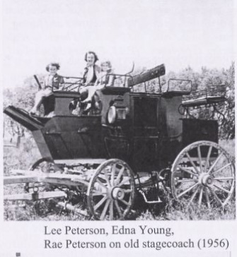
Lee Peterson, Edna Young, Rae Peterson playing on old abandoned stagecoach (1956). Heather, D. (1968). Prairie Grove 1872-1968 (P.260). Manitoba Local Histories. UM Archives. Retrieved from http://hdl.handle.net/10719/3101128
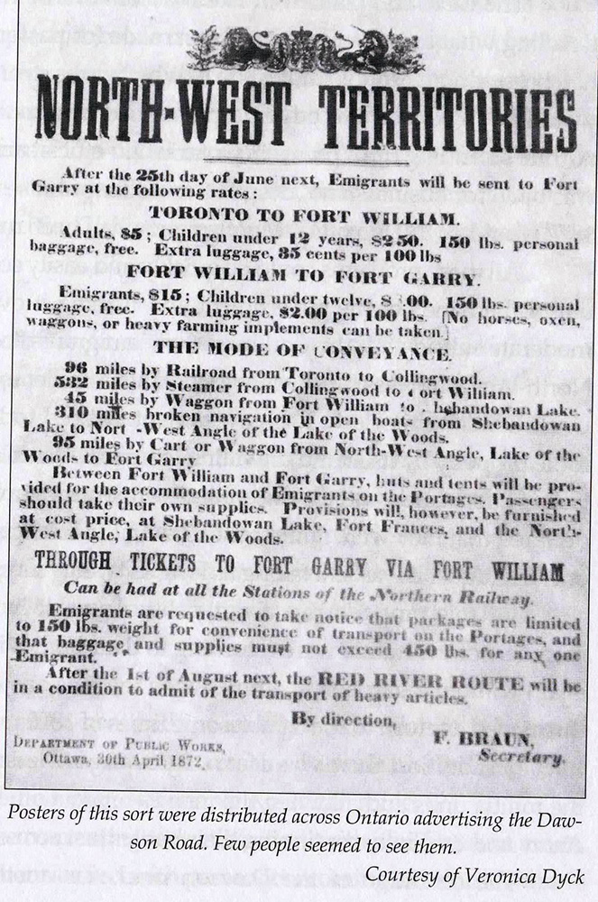
“Posters of this sort were distributed across Ontario advertising the Dawson Road. Few people seemed to see them.” Courtesy Veronica Dyck (1872). Retrieved from person collection of Norm Lavack.
Go to Next Tour Location: NorthWest Angle - Lake of the Woods | Top
Previous page: Coulée St-Onge
Next page: East End of Current Dawson Road