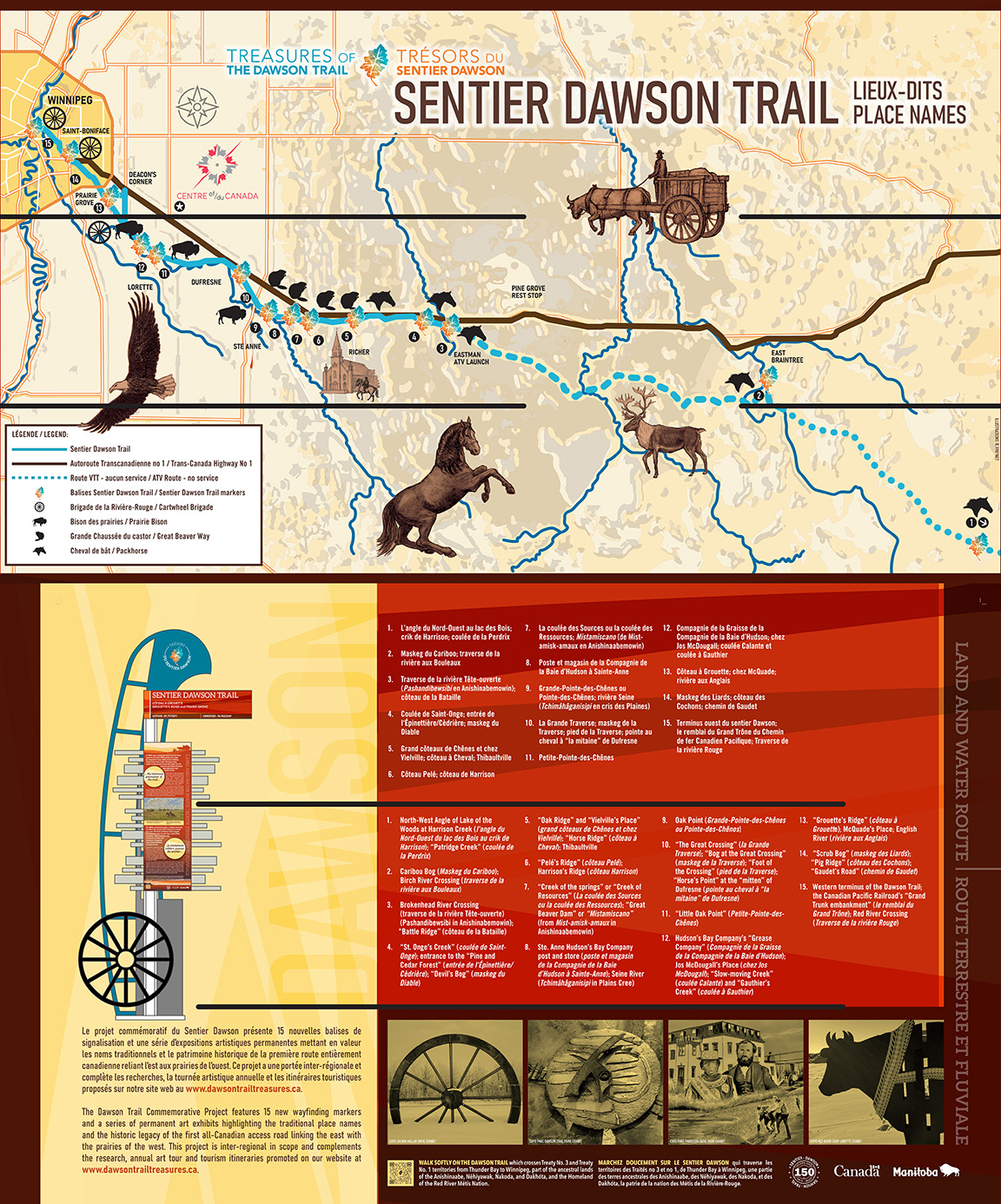
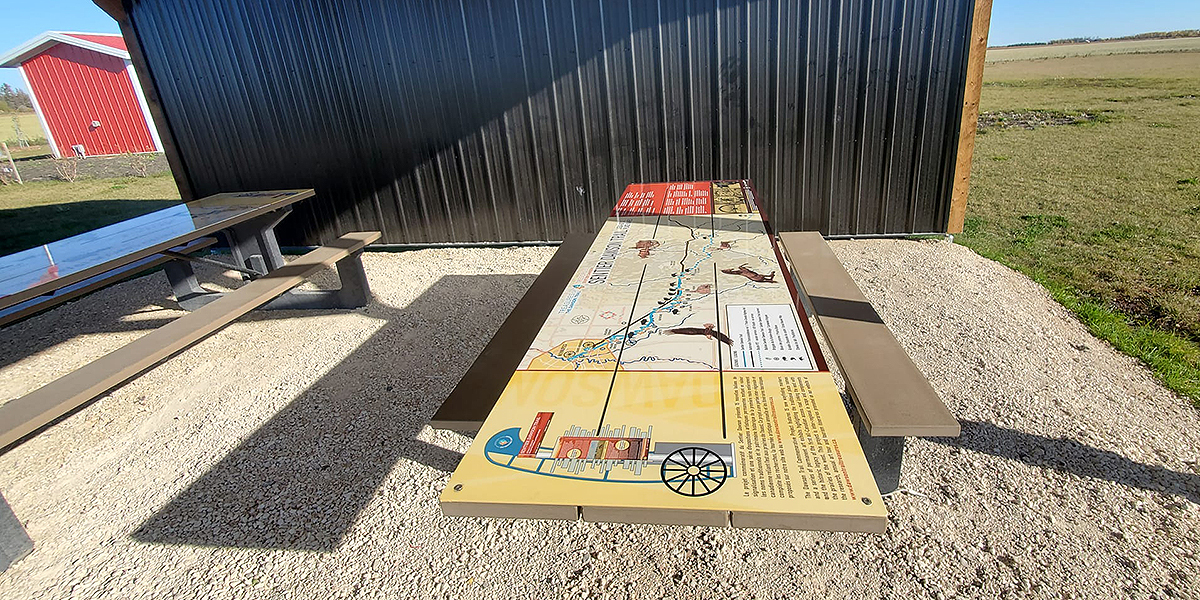
The Dawson Trail Commemorative Project features 15 new wayfinding markers and a series of permanent art exhibits highlighting the traditional place names and the historic legacy of the first all-Canadian access road linking the east with the prairies of the west.
(click to open expandable PDF to read text - 22MB)
The Dawson Trail Commemorative Project is the final phase of development and the culmination of a major grassroots and community-based initiative initiated in 2019 to celebrate and promote artist-residents and the heritage of the Dawson Trail. Over this period, significant inter-regional support was gained all along the trail that links us, demonstrating the connectedness and strength of our communities.
We are deeply grateful to our organizing committees, as well as all elders and individuals who have given of their time to this project. The Dawson Trail Commemorative Project is made possible in part by the Government of Canada, the Government of Manitoba, the CDEM, the AMBM, the FDÉFO (PrairiesCan), the CN Community Fund, the Thomas Sill Foundation, the McLean Foundation, the Richer Community Club, Francofonds and the Municipalities of Taché, Ste. Anne, Springfield, and Reynolds.
Please click the links to view information on each of these exhibits below...
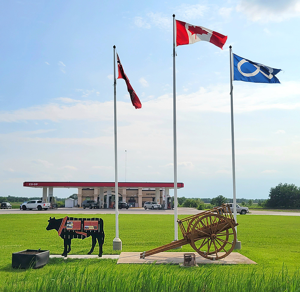
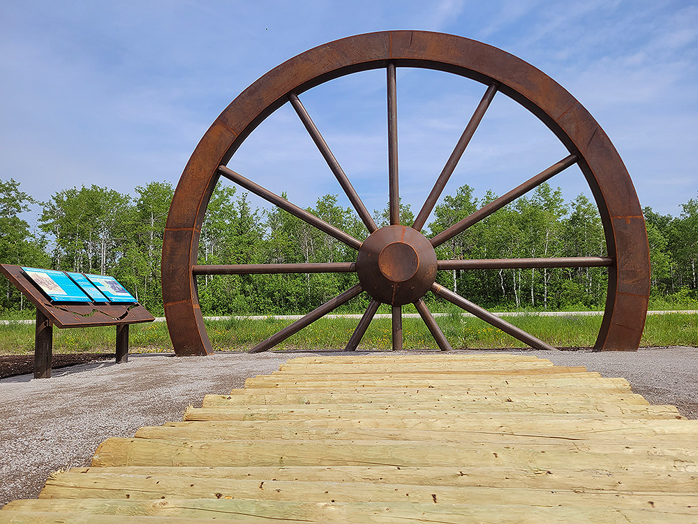
Red River Ox Cart Exhibit
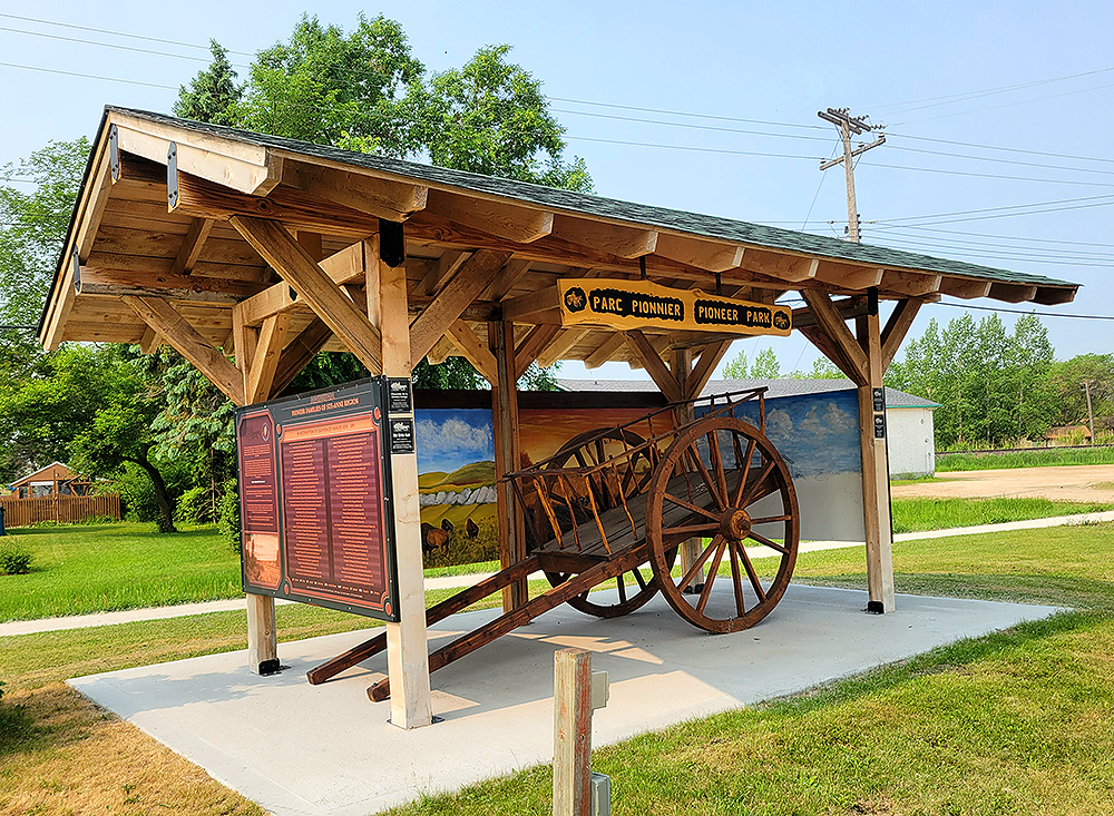
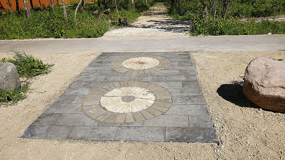
Pioneer Park Exhibit
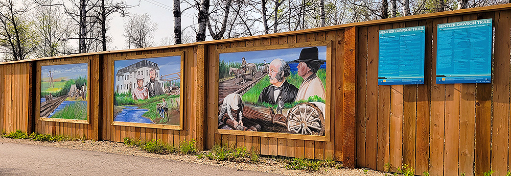
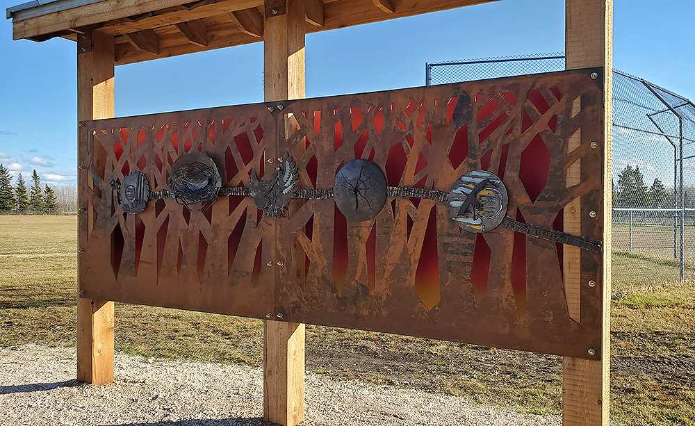
Thurston Park Exhibits
Corduroy Road Exhibit
Enfant-Jésus Historical Site Exhibit
The Dawson Trail Journey West Exhibit
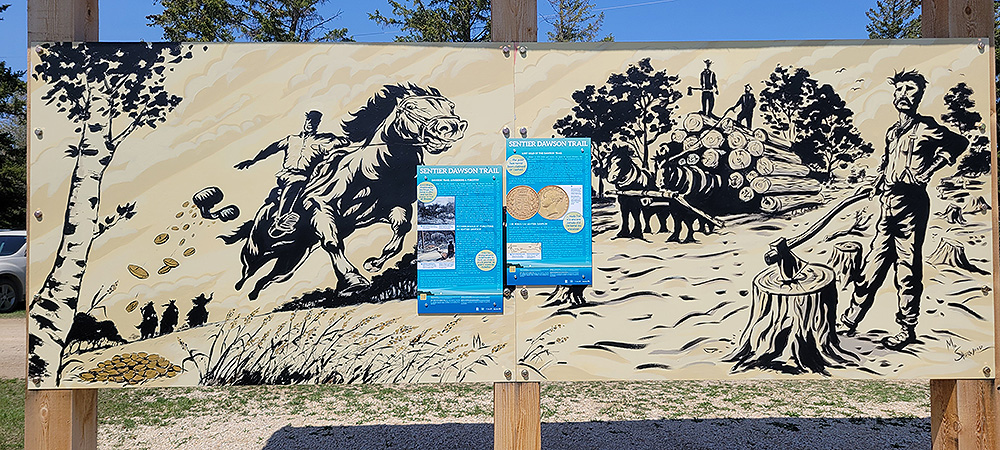
The Lost Gold & Lumbering Mural Exhibit
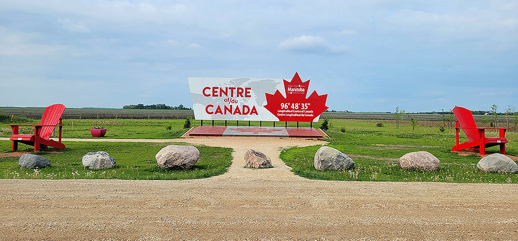
Centre of Canada Park
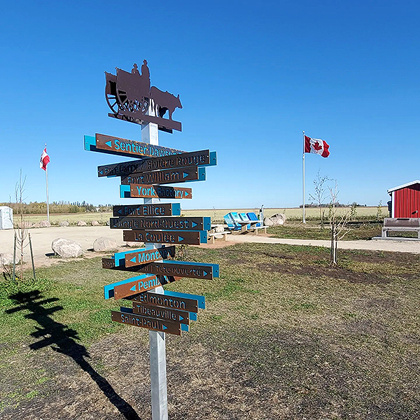
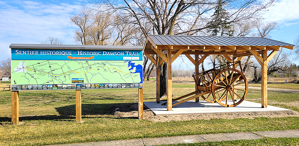
Please see the Dawson Trail Heritage Tour for the 15 Wayfinding Marker locations
Previous page: Message from the Chair
Next page: Acknowledgements