"The Caribou Bog drains into the Whitemouth River to the West and into Harrison Creek to the South, crossing the Dawson Road close to the NorthWest Angle Forest Reserve. Its elevations are from 1100 to 1150 feet above sea level. When La Vérendrye came West to the Lake of the Woods in 1732, he and his sons crossed the Caribou Bog on his way to the rivers leading further West. His diary speaks to how they walked sometimes up to their necks through the bog. They choose to follow the Winnipeg river further North on their next expedition through the area. The bog is said to be home to many unusual plants including the pitcher plant and rare orchids. It has been harvested for what has been described as an almost unlimited reserve of peat moss. The Wolseley expedition lost some of its cannons when they sank into the bog.”
Feilberg, E., & Annell, L. (1989)
Source: Feilberg, E., & Annell, L. (1989). “The Caribou Bog” by Nik Feilberg (P.15). Pioneer History of Glenn, East Braintree & McMunn (p. 39). Retrieved from http://hdl.handle.net/10719/2239350
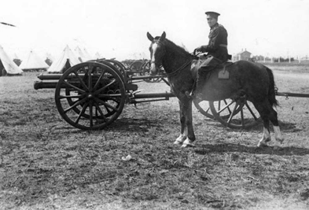
Soldier on horseback with brass cannons. Manitoba Historical Society. A gunner with 18-pound cannons at Camp Sewell, around 1912. Source: Archives of Manitoba, Camp Sewell 33. Source: Grebstad, D. (2013). Manitoba History: The Guns of Manitoba: How Cannons Shaped the Keystone Province, 1670-1885. Retrieved June 30, 2020 from http://www.mhs.mb.ca/docs/mb_history/72/cannons.shtml
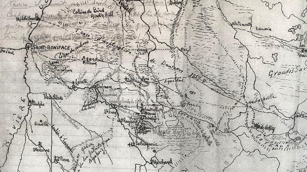
This map is a reconstruction of the region using some of the Métis and French names for places from the collection of Roger Godard «Notes de M. J. A. Cusson et Marisse Benoit, 12 mars, 1939 - Lieux-dits le long du Chemin Dawson d’après Eugène Desautels ». Personal collection of Roger Godard.
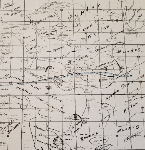
Provincial archives map of Township No. 8, Range VIII East of Principal Meridian, Rec No 340 (1874). The soft blue line crossing the map horizontally is Dawson Trail. Source: PAM. Print.
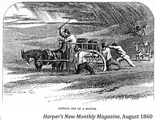
“Getting out of a slough.” Harper’s New Monthly Magazine, August 1860. Source: The Begbie Contest Society. (n.d.) Canadian Primary Sources in the Classroom – Riel and Manitoba. Multiple Perspectives. Retrieved June 29, 2020 from http://www.begbiecontestsociety.org/RIEL%20and%20MANITOBA.htm
Dawson, S. J. (1868). Report on the line of route between Lake Superior and the Red River Settlement (P.19). House of Commons. Hunter, Rose & Company: Ottawa. Also published by I.B. Taylor, 1869 (32p): Ottawa. Retrieved June 3, 2020 from Peel 481: Dawson, Simon James, Report on the line of route between Lake Superior and the Red River Settlement (1868). For French version see Rapport sur le trace de la route entre le lac Supérieur et l’établissement de la Rivière-Rouge. Ottawa : Hunter, Rose et Lemieux, 1868, retrieved June 3, 2020 from http://peel.library.ualberta.ca/bibliography/480.html
Back to Dawson Trail Park Heritage Tour Page | Top
Previous page: Corduroy Roads
Next page: First Nations Employed on the Line (1868-1871)