HISTORICAL NUGGETS: Corduroy Roads | The Caribou Bog
Corduroy Road Exhibit
Click for Google Map location
Theme: Travel on the Dawson Trail in the early days / Corduroy roads
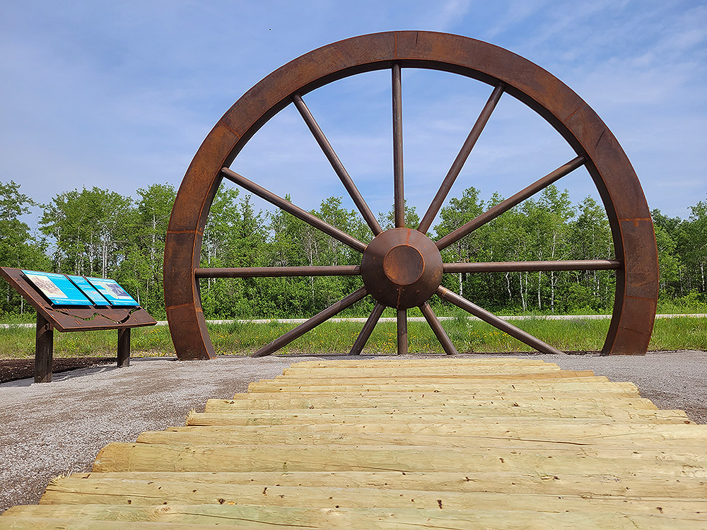
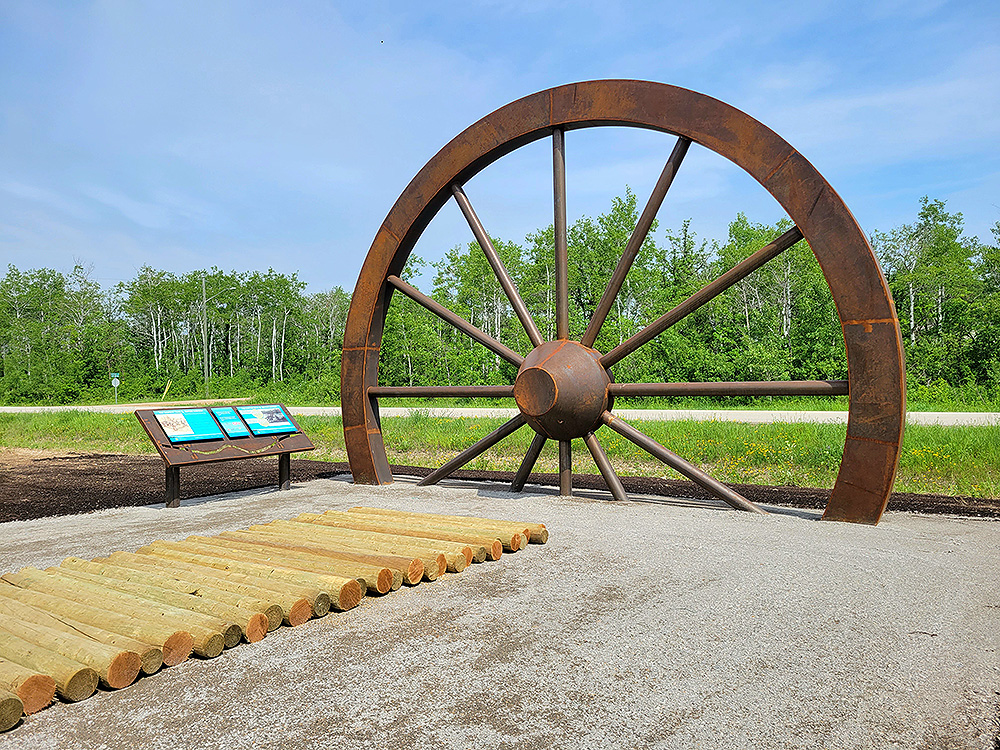
Along the Dawson Trail between Thurston Park and Richer, you will see the "big wheel" display on your right side. Pull into Millar Drive and check it out. When you are done, continue eastward along the Dawson Trail.

Replica of a corduroy road.

Credit: artist James Culleton, with special thanks to Brad Wallin and Josh Goertz from Wallin Industries, Mike McFeetors and his team at Groundhog Anchors, Troy Barkman at Paradise Landscape and Design, and Michael Koch-Schulte. Commissioned by the Dawson Trail Arts and Heritage Tour. Photos by Myriam Dyck.
“Corduroy road” is the name given to the type of road construction that was used to stabilize roads through the muskeg country of eastern Manitoba. This method of construction was applied on the early Dawson Road which was built over rivers, swamps and marshes across a terrain that transitioned from boreal forest through meadows into the beginning of the Canadian prairies.
The building of corduroy roads consists of felling trees and laying the logs side by side across the swamp, which the Métis workers called “maskègues” (muskegs). It was a practical method for the time, especially when one thinks of the famous Caribou Muskeg, some five kilometers east of the Birch River, which was so deep that a 12-foot pole could not reach the bottom of the swamp. As travel increased on the road, the logs would begin to settle and twist every which way, making travel a bone-jarring experience for travelers and newcomers. The roads were so bad that most people preferred horseback or walking rather than by cart or wagon.
Previous page: Thurston Park Exhibits
Next page: Richer: Côteau des chênes
