POINT OF INTEREST: Commemorative Marker #10
HISTORICAL NUGGETS: Louis Riel Land Claim East of Lorette
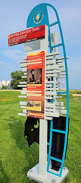 Commemorative Marker #10
Click for Google Map location
Theme: "The Great Crossing" / "Bog at the Great Crossing" / "Foot of the Crossing" / "Horse's Point at the "mitten" of Dufresne
As you drive down the gravel section of the Dawson Trail past Dufresne, heading toward Ste-Anne, watch for a marker along the right (south) side. It is located in front of Marc Hutlet Seeds so watch for grain bins. You can park along the front of their yard (out of the way of their business traffic please) to read the marker. When done, continue driving eastward.
“La Grande Traverse”
“Along the Dawson Road, just West of the town of Sainte-Anne before arriving into Dufresne is a rather low area once referred to as “la grande traverse” (the great traverse). In years past it was often flooded, especially in the springtime, by the waters from the nearby Seine River.”
Source: Villa Youville Inc. (1976). Paroisse de Ste. Anne des Chênes 1876-1976 (p.23). Published by « le Comité historique du Centenaire, » Ste-Anne, Manitoba. Retrieved June 3, 2020 from http://www.mb1870.org/localhistory/125%20-%20La%20Paroisse%20de%20Ste.%20Anne-des-Chenes.pdf
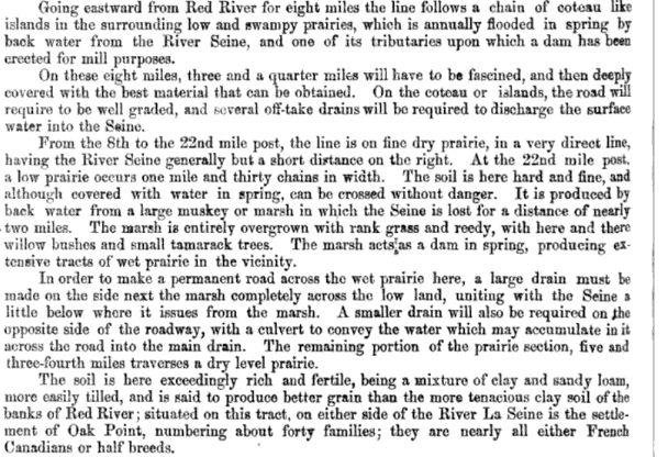
Canada: Sessional Papers. (1869). Volume 2, Issue 5 (P.6). C.H. Parmalee. Report by Hector Langevin, 1869. Retrieved June 3, 2020 from https://books.google.ca/books?id=NSnQAAAAMAAJ...
Go to Next Tour Location: Sainte-Anne: Grande pointe des chênes | Top
Previous page: Dufresne Grain Elevator
Next page: Sainte-Anne: Grande pointe des chênes