SEE GOOGLE MAP LOCATION 
POINT OF INTEREST: Lac à Bossé
HISTORICAL NUGGETS: A Naturally Abundant Landscape
Note that the Dawson Road from just east of Richer to the east end of road driveable today is all gravel. From Dawson Trail Park continue east on Dawson Road for 1 kilometre to Municipal Road #45E and turn right (south). Go almost 3 kilometres to the dead end of that road.
Lac Bossé
This small lake shows up on a map but is not very accessible. If you drive 2 miles south of the Dawson Trail down Municipal Rd #45E, you will come to a dead end. Several hundred feet to the south of this in the bush is Lac Bossé.
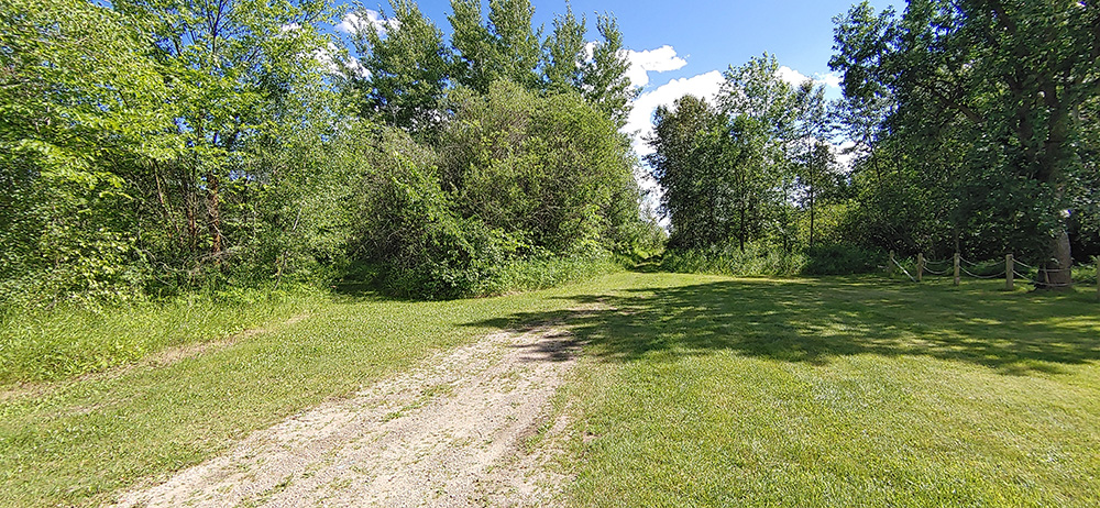
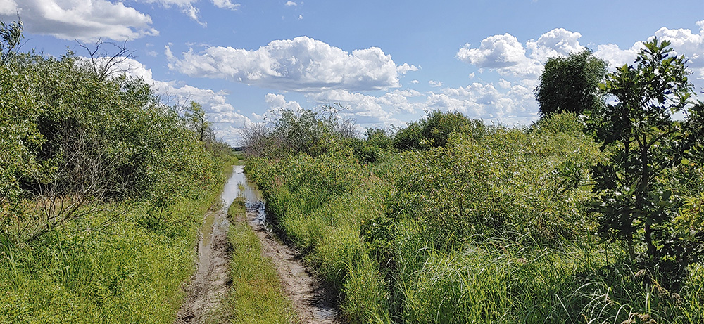
There is a hiking/ATV trail at the end that brings you into sight of Lac Bossé within a couple of hundred feet, if you feel like it you can hike in (if the mosquitoes and mud are not too bad!). Photos by Myriam Dyck.
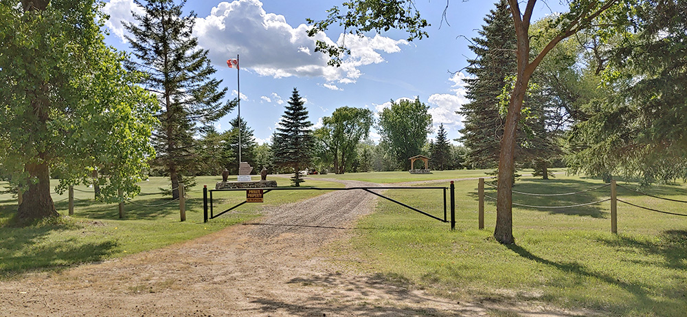
To your right as you drive towards the end of the road you will see a beautiful landscaped park and ponds. This private property is the Godard Family Park (do not enter). Photo by Myriam Dyck.
Lac à Bossé
“Lac à Bossé” is simply a large hole filled with water, named after a Mr. Pierre Bossé (father to Mrs. Theophile Pattyn) who lived in the area during the mid 1800s. It is here that they sourced much of the gravel needed for the construction of the Dawson Trail as it crossed “le grand Maskeg”, the great muskeg region that once crossed through much of the Richer area. This hole, now turned into a lake, was always filled with fresh water. It was once renowned as an excellent place to camp and referred to as the “first hitch” (“première attelée”), because it was the location where one might typically stop with their horse as they traveled East from Pointe-des-chênes, or the town of Sainte-Anne on the Dawson Trail.
Source: Villa Youville Inc. (1976). Paroisse de Ste. Anne des Chênes 1876-1976 (p.21). Published by « le Comité historique du Centenaire, » Ste-Anne, Manitoba. Retrieved June 3, 2020 from http://www.mb1870.org/localhistory/125%20-%20La%20Paroisse%20de%20Ste.%20Anne-des-Chenes.pdf
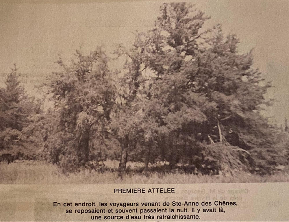
First hitch along Dawson Road was at Lac Bossé. In this place, travellers coming from Ste-Anne des Chênes rested and often spent the night. There was a very refreshing spring of water there. Source: Blom, R.R. (1980, April). Taché Rural Municipality 1880-1980 (P.30). Commissioned by The Council of the Rural Municipality of Taché. Derksen Printers, Steinbach: Manitoba. Retrieved from University of Manitoba digital collections June 3, 2020, http://hdl.handle.net/10719/3055598
“Closer to Thibaultville, Mrs Godard saw the fire approaching. She rushed to the fields to herd the cattle into the barn. Sparks carried by the wind landed on the house, and set their haystacks on fire. The frantic mother hid her children in the cellar and they all would have perished, but at the time, fortunately, three men were traveling along the Dawson Trail nearby. It was two Belgians with a First Nation guide named Kashawa. When they saw Mrs. Godard emerging from the cellar with her children, Kashawa tucked the baby under his arm and led the mother and the other children to safety at Lac Bossé. Mr Godard met Kashawa when he was walking home from St-Boniface. Kashawa told him “Your family is safe but all your buildings and animals are gone.”
“Anonymous” in the Godard family history book
Source: Dornez-Laxdal, D. (1993). « Reflets d’un passé au lac Bossé ». No publisher. Godard (and Bourgouin) Family. Print
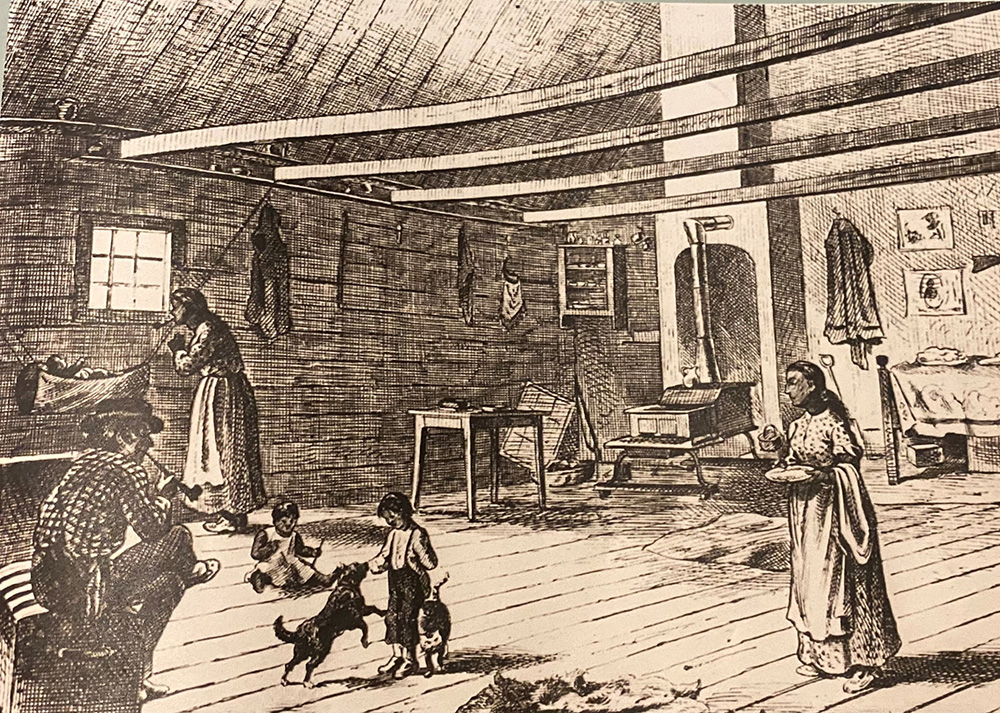
Interior of a Métis log cabin as seen along the journey of the North-West Mounted Police on the March West (1874). Esquis by Henri Julien for L’Opinion Publique, 1874. Glenbow Archives. Source image: The Begbie Contest Society. (n.d.) Canadian Primary Sources in the Classroom – Riel and Manitoba. Multiple Perspectives. Retrieved June 29, 2020 from http://www.begbiecontestsociety.org/RIEL%20and%20MANITOBA.htm
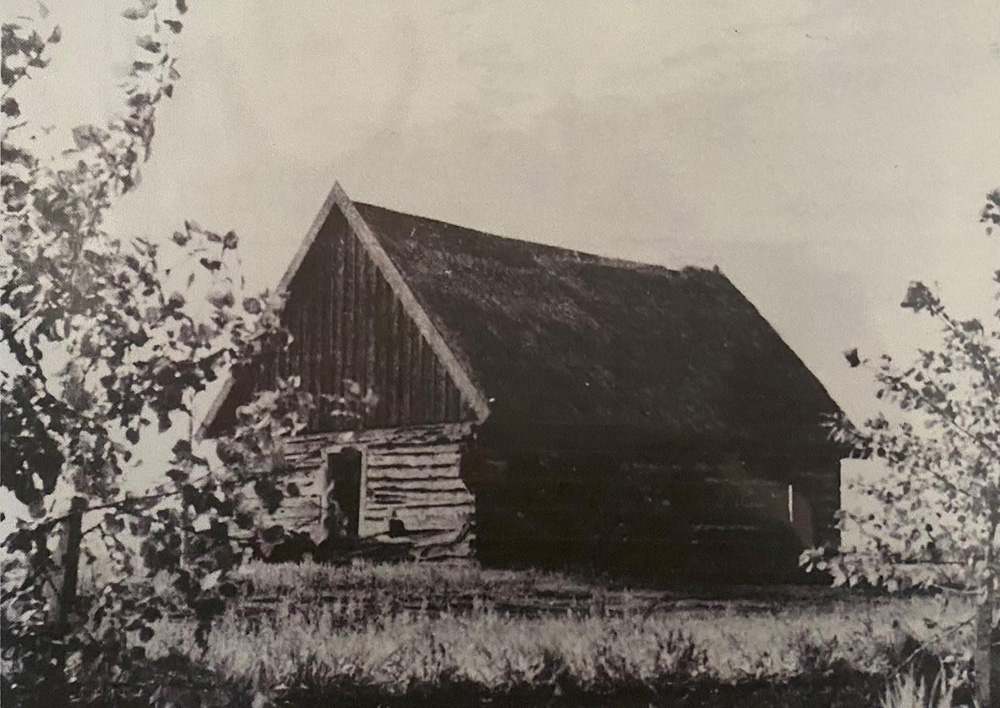
Maison Métis | Métis homestead typical of the region of the Dawson Trail. Original source unknown. Personal collection of Roger Godard.
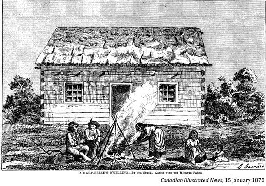
Métis homestead, etching by Henri Julien. Original source: Canadian Illustrated News (1870, Jan 15). Also: L’Opinion publique, vol. 5, no 41, 8 octobre 1874 (p. 500).Source: The Begbie Contest Society. (n.d.) Canadian Primary Sources in the Classroom – Riel and Manitoba. Multiple Perspectives. Retrieved June 29, 2020 from http://www.begbiecontestsociety.org/RIEL%20and%20MANITOBA.htm
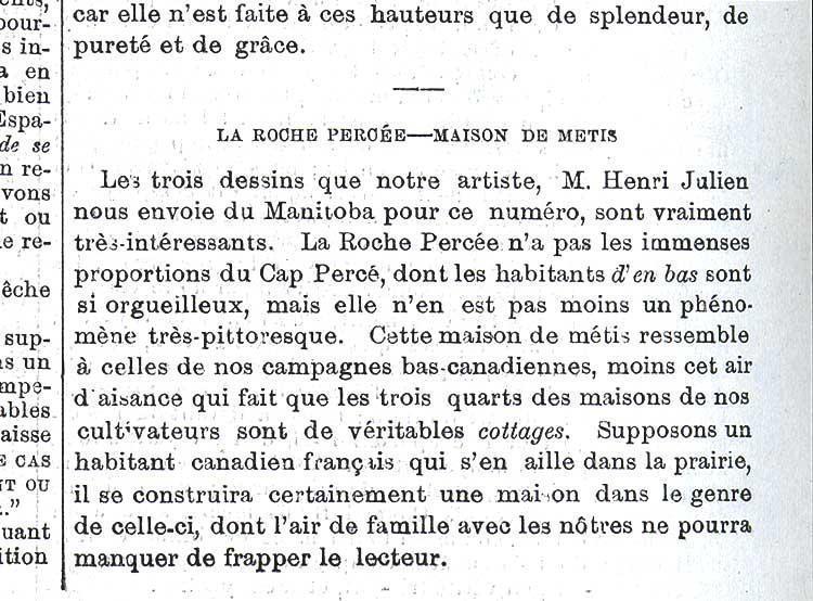
La Roche Percée - Maison de Métis, « Vue extérieure d’une maison de Métis », gravure par Henri Julien. Source: L’Opinion publique, vol. 5, no 41, 8 octobre 1874 (p. 500). English translation: The three drawings that our artist, Mr. Henri Julien, sent us from Manitoba for this issue are really very interesting. The Pierced Rock, which the people down there are so proud of, but it is still a very picturesque phenomenon. This half-breed house resembles those of our rural Canadian base, minus that air of affluence which makes three-quarters of our farmers' houses real cottages. Suppose a French Canadian who goes out on the prairie, he will certainly build a house like this one, whose family resemblance to ours will not fail to strike the reader. Retrieved June 29, 2020 from https://shsb.mb.ca/maison_metisse
Go to Next Tour Location: Coulée St-Onge | Top
Previous page: Dawson Trail Park Exhibits
Next page: Coulée St-Onge