POINT OF INTEREST: Centre of Canada Park
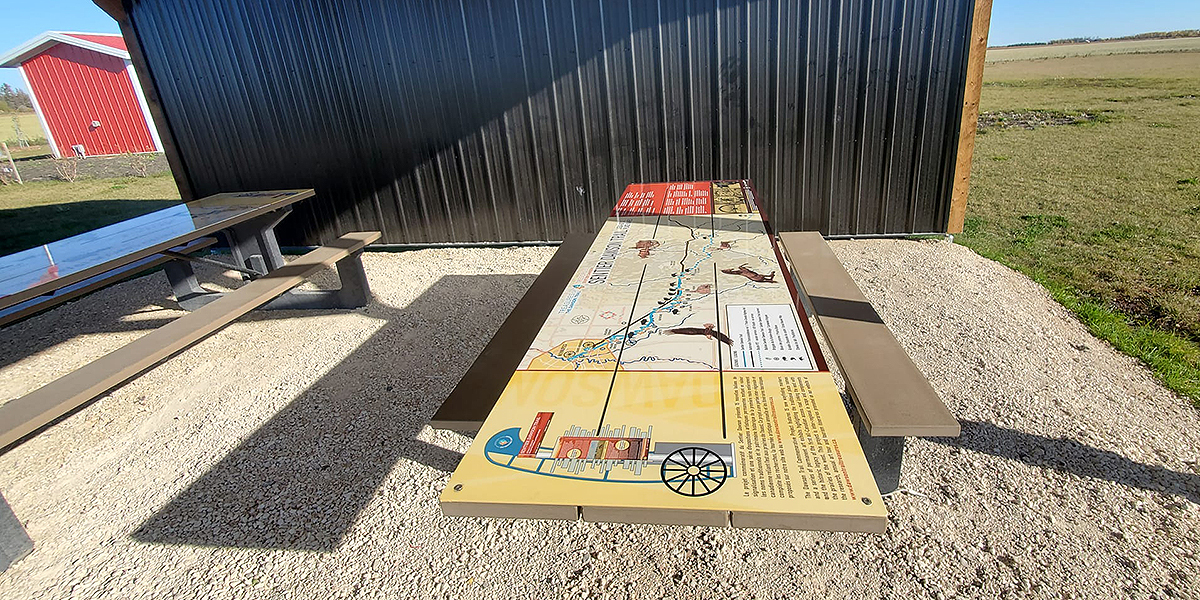
Dawson Road: One of the Original “Great Highways”
HISTORICAL NUGGETS: Red River Military Expeditions
Dawson Route and Treaties No. 1 and No. 3
“There is also something which you are using...”
Impact of the Homestead Act (1919)
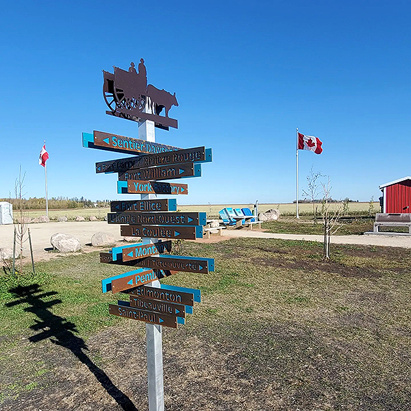
Centre of Canada Park
SEE GOOGLE MAP LOCATION 
From Ste. Geneviève drive west on Hwy #501 and stay straight on it for 17.5 kms. Once you arrive at the junction of TransCanada Highway #1, turn right (west). In 4 kilometres the Centre of Canada Park will be on your right (north side). Enter via access road just west of it.
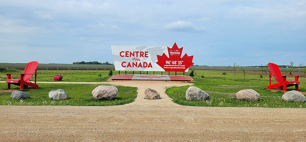
The exact longitudinal (east-west) center of Canada. Sitting at 96° 48’ 35” W, this spot is situated in the RM of Tache, Manitoba, just 30 minutes or so from the capital city of Winnipeg along the Trans-Canada Highway (#1).
We thank PrairiesCan, the Government of Canada, the RM of Taché, the Centre of Canada Committee and the CDEM for their collaboration in making these exhibit components possible for the Dawson Trail Arts and Heritage Tour. Artist concept can be credited to Pierrette Sherwood and the Dawson Trail Commemorative Project Steering Committee, with Map design and heritage interpretive elements attributed to Mireille Lamontagne, Project Curator of the DTAHT commemorative trail.
Dawson Road: One of the Original “Great Highways”
“The Dawson Road was one of the original “Great Highways” in existence prior to July, 1890. To be awarded the title of “Great Highway”, the highway had to be 132 feet in width. In 1876 when the Province of Manitoba was negotiating with Ottawa to obtain control of the Dawson, this highway did not meet these specifications in some places, however, this must have been remedied, because in 1876 the province did obtain jurisdiction over the Dawson.”
Rose R. Blom, author Taché Rural Municipality 1880-1980
Source: Blom, R.R. (1980, April). Taché Rural Municipality 1880-1980 (p.34). Commissioned by The Council of the Rural Municipality of Taché. Derksen Printers, Steinbach: Manitoba. Retrieved from University of Manitoba digital collections June 3, 2020, http://hdl.handle.net/10719/3055598
By the start of the 1876 season, the route had cost the Canadian Government $220,000 a year for six years.In 1873, the fare from Prince Arthur’s Landing (Port Arthur) to Fort Garry, by canoe and Red River cart was: Adults $10.00, children $5.00, 200 pounds of personal baggage free, extra baggage $2.50 per hundred weight.
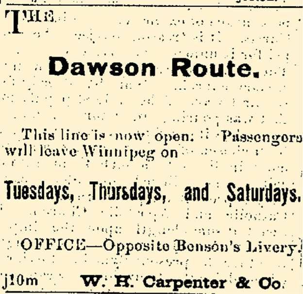
The Dawson route opened for travel to the public in 1871. This is a typical advertisement of the day. Winnipeg Free Press, August 5, 1875. UM Archives. Retrieved from https://newspaperarchive.com/anniversary-clipping-aug-05-1875-1801443/

First automobile to drive over the Dawson Trail, 1927, East Braintree to Winnipeg. Source: A Packsack of Seven Decades by the Women’s Institute of Hadashville, 1970(P.83). UM Archives. Retrieved from https://digitalcollections.lib.umanitoba.ca/islandora/object/uofm%3A3066415#page/85/mode/2up
Thank you for taking this Heritage Tour with us!!
You have completed the Tour locations and can head back to Winnipeg by going west on Hwy #1.
Read about "The Dawson Trail Today"
Previous page: Monseigneur-Taché Historic Site
Next page: Heritage Tour Locations