In 1963 the City of Winnipeg renamed Lamont Street to Dawson Road in honour of Simon J. Dawson, planner and engineer of the original Dawson Road to Saint-Boniface.
Source: Manitoba Historical Society. (1998-2020). Historic Streets in Winnipeg - Dawson Road [Lamont Street]. MHS Resources. Retrieved June 20, 2020 from http://www.mhs.mb.ca/docs/winnipegstreets/index.shtml
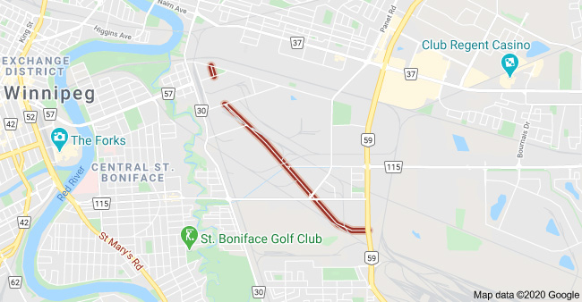
2020 Google map of Dawson Road North near Plinguet Street. Retrieved June 21 from https://www.google.com/search?q=Dawson+Road+North%2C+Winnipeg%2C+MB&rlz=1C1CHZL_enCA705CA705&oq=Dawson+&aqs=chrome.0.69i59j69i60l5j69i65l2.4523j0j7&sourceid=chrome&ie=UTF-8#
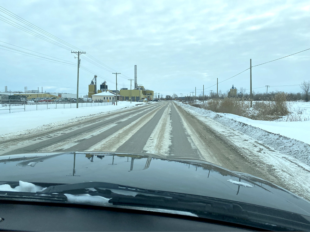
Driving on Dawson Road North coming from the turn off at Plinguet, heading in a southeasterly direction toward Lagimodière Blvd through the industrial zone of Saint-Boniface (2019). Photo credit: Mireille Lamontagne
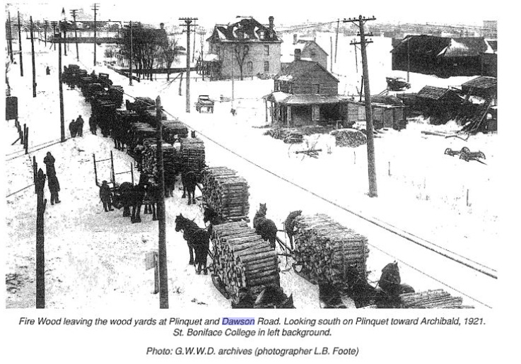
Firewood coming from the area around East Braintree on the Dawson road, leaving the wood yards at Plinquet and Dawson Road (North) looking toward Archibald in 1921. Source: Feilberg, E., & Annell, L. (1989). Pioneer History of Glenn, East Braintree & McMunn (P.72). G.W.W.D. Archives. Photographer L.B. Foote. Retrieved June 10, 2020 from http://hdl.handle.net/10719/2239350
Next: The Dawson Trail: A Centennial Project | Top
Previous page: Historic Significance
Next page: The Dawson Trail : A Centennial Project